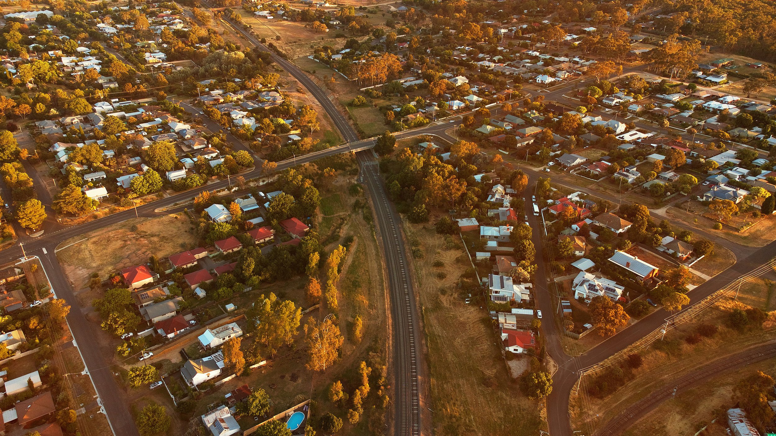
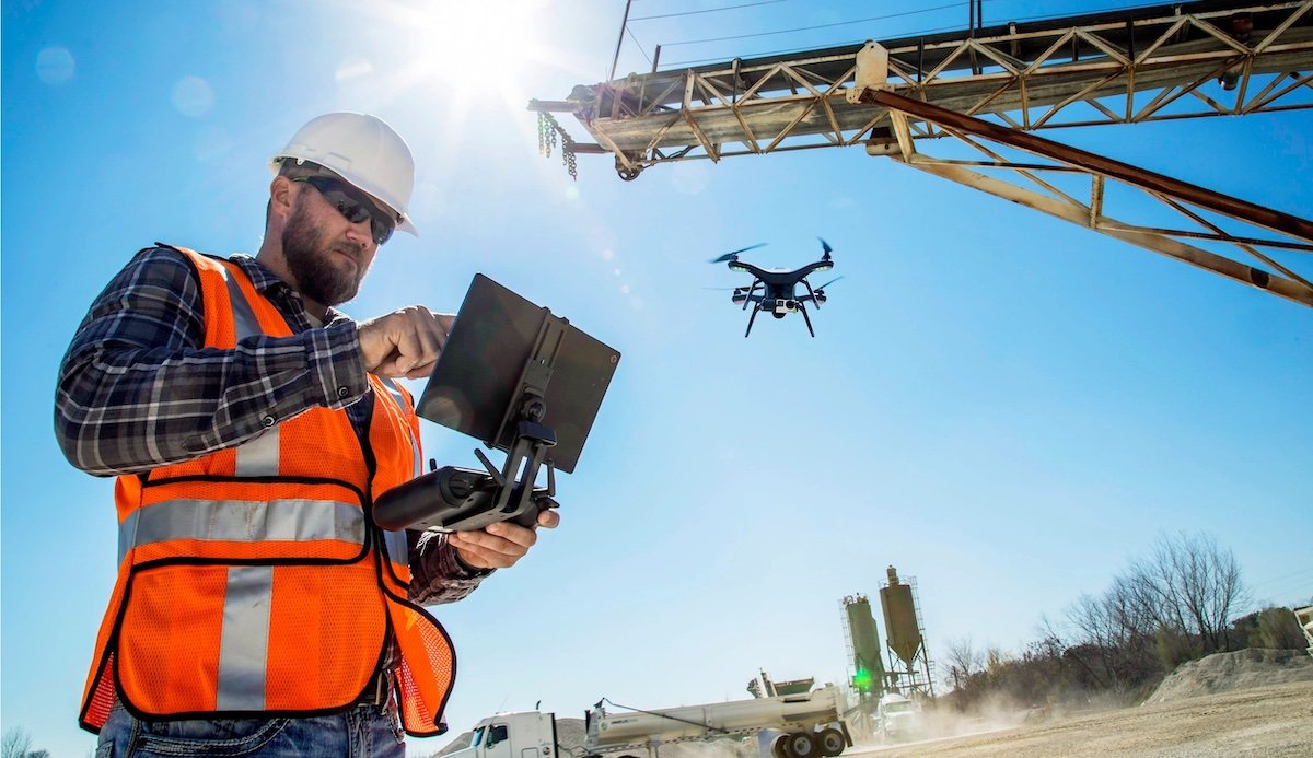
See your vision with engineering precision
Ensuring precise, innovative, and reliable services to meet your unique challenges

Explore Our Industry-Specific Drone Solutions
Agriculture & Land Management
Enhance crop health, monitor land efficiently, and manage pests with precise aerial imagery and thermal assessments, giving you the insights needed for smarter, faster decisions.
Construction & Infrastructure
Streamline your projects with 3D mapping and aerial inspections, offering accurate data and automated reporting to reduce delays and improve site safety.
Environmental Monitoring
Monitor wildlife and track environmental changes with our advanced thermal assessments and aerial imagery, providing critical data for conservation and research efforts.

Seeking Another Industry
or a More Specific Solution?
Geospatial Services
Capture detailed spatial data with high-resolution aerial imagery and 3D mapping, providing the foundation for accurate site analysis and planning
Thermal Assesments
Detect temperature variations and identify heat-related issues with advanced thermal imaging, which is ideal for everything from energy audits to wildlife monitoring.
Aerial Inspections
Conduct fast, safe, and with the prospect of automated flights, these aerial inspections deliver minimal disruption with real-time insights for infrastructure, utilities, and more.
Aerial Surveying (EOI)
Looking for professional drone surveying services? Register your interest as we prepare to expand into surveying with cutting-edge drone technology.

Book a free consultation
At Daedulux, we’re thrilled to have you as part of our journey to transform how small businesses and local communities approach aerial surveying and data collection.
We’re here to provide top-tier drone services that deliver precise, actionable insights to help you achieve your goals!

More on Daedulux
Daedulux, founded by Culum Revell, provides precise drone surveying tailored for small businesses and the local community. With a passion for engineering solutions and community empowerment, we deliver customized aerial data to help you make informed decisions and achieve your goals.
Follow us on social

Contact Us
Interested in working together? Fill out some info and we will be in touch shortly. We can’t wait to hear from you!


